NOAA Storm Prediction Center
SPC Mesoscale Analysis Pages (National Sector Archive | Mobile Version)
Click here to view a multimedia introduction of the Mesoanalysis Pages. (5.8MB)
|
|
|
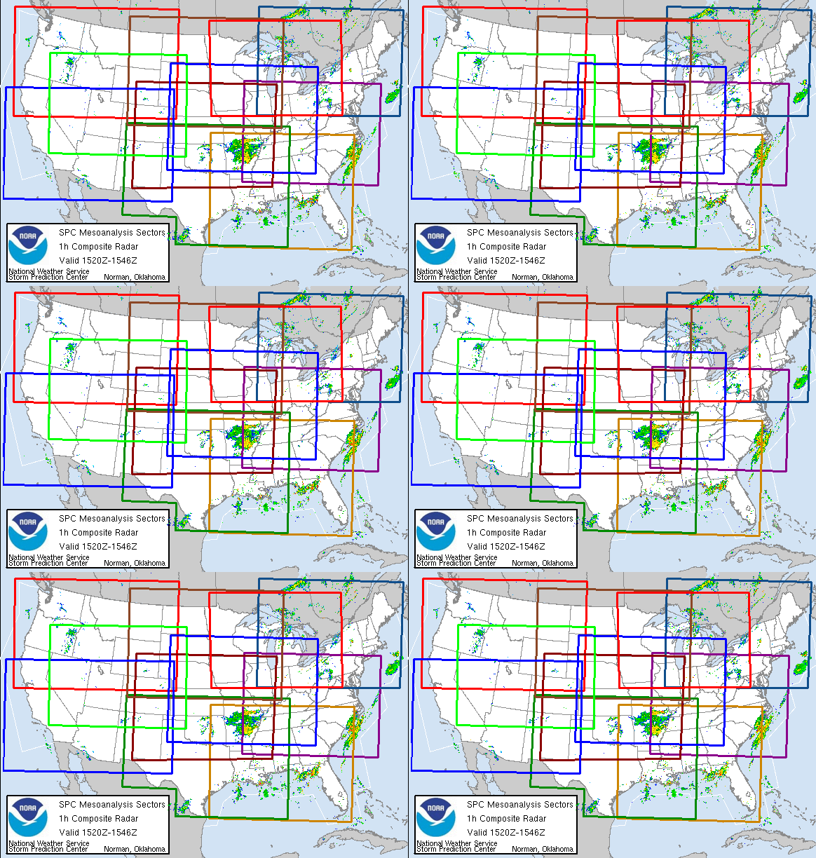
These 10 fixed sectors can be used to see regional gridded mesoanalysis
data across the United States.
This information is provided by SPC as a way of sharing the latest severe weather diagnostic
techniques with local forecasters.
The SPC runs a comprehensive surface objective analysis scheme called SFCOA.
The system runs at the top of each hour, using the latest 40km RAP forecast grids as a first guess.
Next, the surface data is merged with the latest RAP forecast/analysis upper-air data to represent a
3-dimensional current objective analysis.
Finally, each gridpoint is post-processed with a sounding analysis routine
called NSHARP to calculate many technical diagnostic fields related to severe storms.
Here is more information about the mesoscale analysis
page and a detailed description of the parameter fields.
These new mesoscale analysis pages, implemented during the Spring of 2010, incorporate the use of
layered transparent images and a javascript display system.
They have been thoroughly tested for compatibility with
modern web browsers. Nevertheless, if you experience problems viewing these pages,
please send an email using the link below.
An archive of mesoanalysis graphics continues
to be maintained with the implementation of the new mesoanalysis interface.
The information is provided on a CONUS scale with data availabilty from 2005 to present.
Contacts for this resource include: John Hart, Corey Mead, Phillip Bothwell, and Rich Thompson.
|
|
Data Courtesy of NOAA Storm Prediction Center


